Until recently i was cycling through a cold or mild climate, that had changed to decidedly warm since coming into peru and being at an altitude of around thousand meters by now. When i found the immigration office, it was devoid of personal. like on the ecuadorian side, the officials are acustomed to a relaxed day and are wandering around or having extended lunch breaks as, if no bus is arriving, not much people cross the border here. when the guy finally came back, his first question was not for my passport but instead he inquired about my food supplies and if i had any salty crackers on me. As i was pretty sure this was no questions related to customs, i offered him some sweet ones instead, which he refused. After copying the details of my passport, he changed his mind though as no salty crackers magically appeared. He then went with me outside to the bicycle and as i was about to eat my last peanuts, he asked for a handful of these as well. I am not saying i had to give him something to eat, but i believe it made the immigration process much smoother.
The first week i enjoyed the paved roads, rather gentle climbs and was getting used to new landscapes and people. There wasn’t much to see though in the first days until the turn off at pedro ruiz, from where the road follows the rio utcubamba. along these route are ruins of the chachapoya people and their funeral complexes in the mountains as well as some waterfalls, that, until recently, were only known to the people of the surrounding villages.
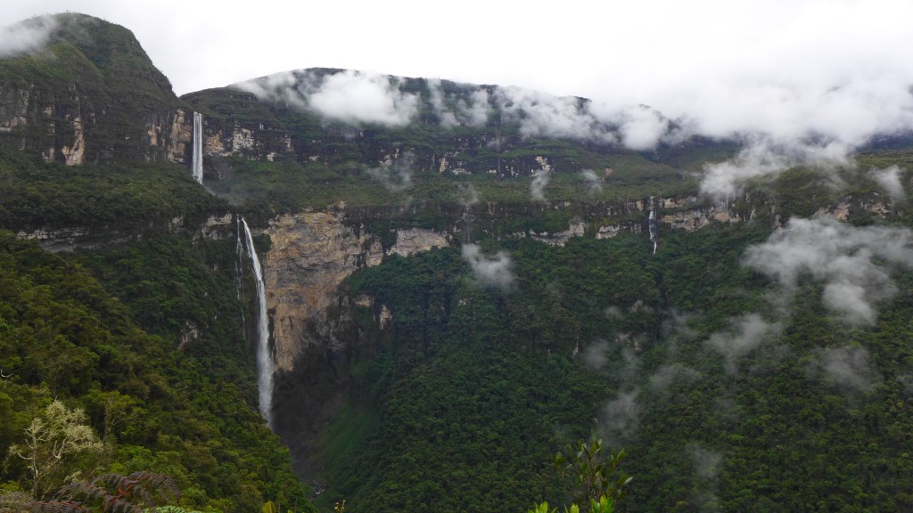
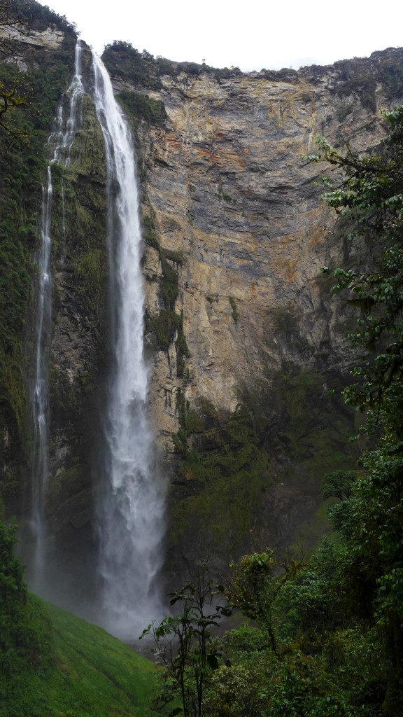
Only as recently ‘discovered’ as 2005 after being kept a secret by the locals, it is an ongoing dispute how high the waterfall actually is. The different sources would put it anywhere between the 3rd or 15th largest waterfall on this planet. There are two access points, each a village on the opposite sides of the same valley, san pablo and cocachimba. The latter being a bit more touristy and the former offering better options to explore the upper regions of the fall, i decided to steer my path towards san pablo. From the turn-off to the dirt road, it went uphill and it began to rain heavily. The only time i stopped was when a rabbit came running towards me, which seemed strange… the answer was coming shortly afterwards, chasing the rabbit: a weasel. It being distracted by my appearance, gave the rabbit another chance of escape which was short-lived. Although the weasel was just a third of the size of the rabbit, it took only a second until he had his body firmly slung around the rabbit’s neck and his teeth in the very same. As i was wheeling past this scene, the weasel let go of the rabbit, which was wounded and blood dripped together with the rain on the muddy road. I stopped for a moment, in which the rabbit only managed to drag itself to the side of the road, unable to take flight. When i continued, there was no sign of the weasel but i am not sure how the rabbit fared after i turned the next corner.
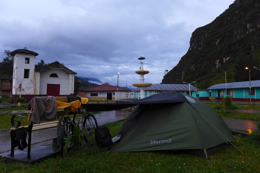
When registering at the tourist office for the hike to the falls, which costs ten soles, i inquired about a place to camp and was offered to put up my tent on the village square.
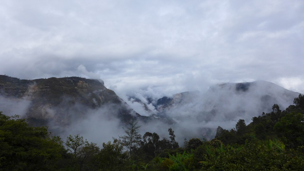
Seemingly the whole village was passing me as they went to church and, though a bit reserved, the atmosphere was friendly and slightly amused as to what this stranger with his bike was doing camping in the middle of the village. The next morning i started the trek to the falls. It starts as an easy walk and is also easy to follow as it leads through fields along the valley filled with clouds.
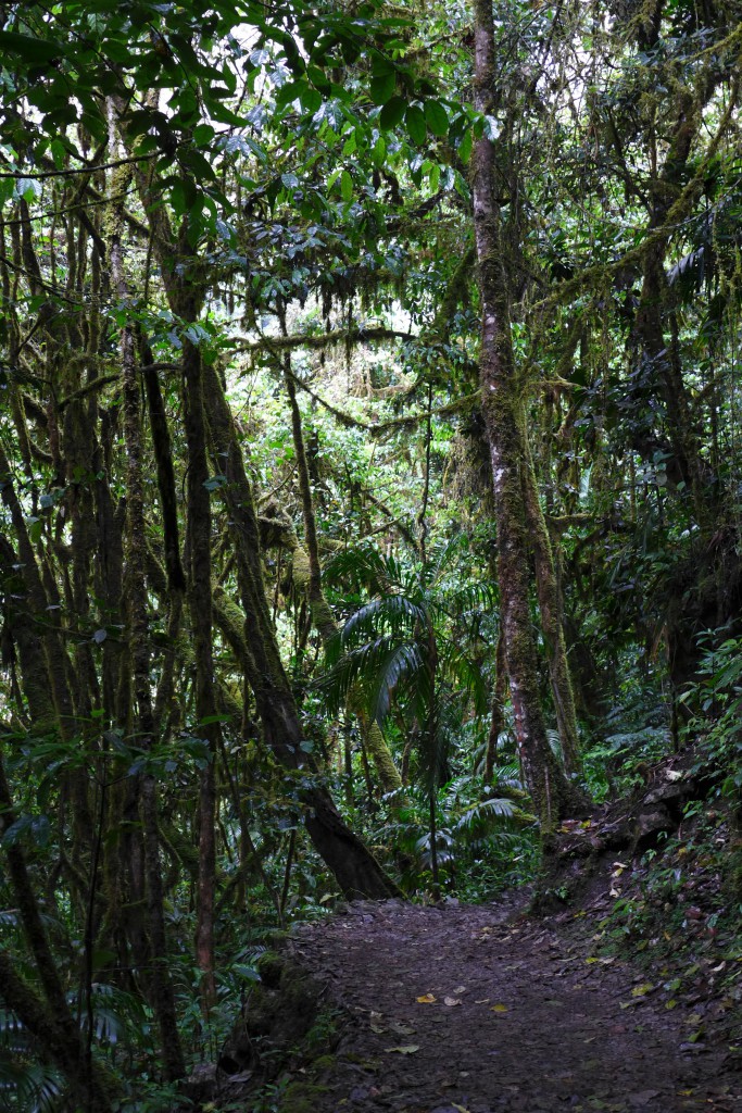
After leaving the fields behind and entering the forest, the atmosphere is changing and becomes rather enchanting, and in such a place, fairies aren’t far away.
When reaching a junction, one can decide to continue towards the zone in between the first and second stage of the fall, or take the route to the first mirador…
and then downwards, which leads through denser rainforest the closer one gets to the bottom of the fall.
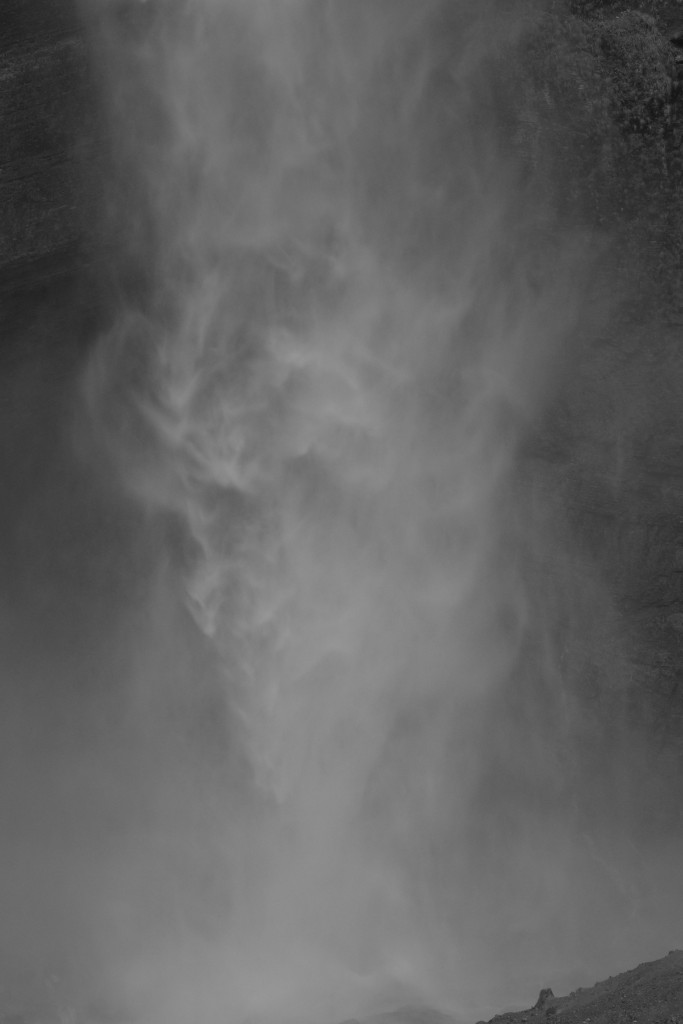
The waterfall dissolves halfway through the second stage and arrives at the bottom as a curtain of spray of water.
The gusts of wind and spray is that strong, that nearing the waterfall, one gets completely soaked within a twenty meter radius and getting closer is not that inviting. During the hike to the bottom, there are also good views of only the second stage, which is about 500 meters high.
By the time i turned towards the lower section, i was still thinking about doing the other part later on, but when i was back around the first mirador and the turn-off, i decided to call it a day and slowly walked back to the village to get on the bike and make it to tingo that day, the starting point of the trek to the ruins of Kuelap.
